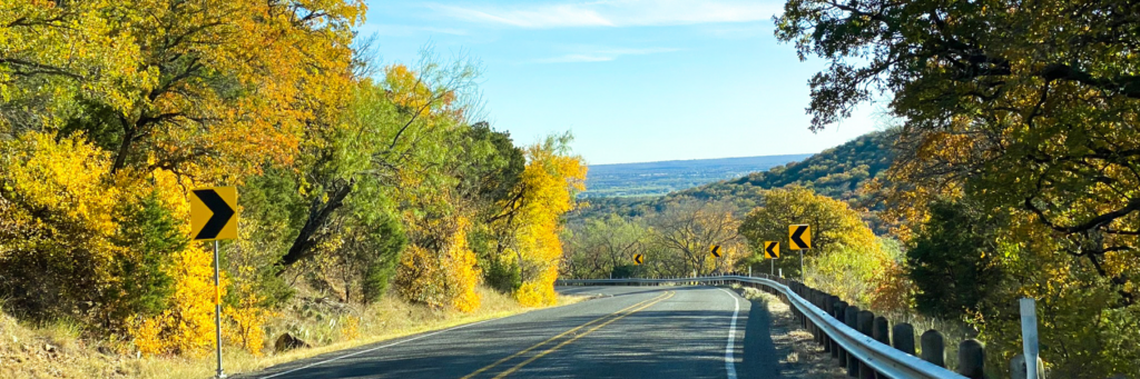
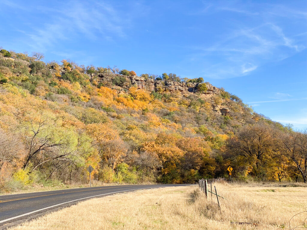
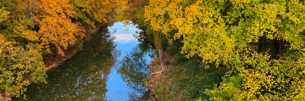
Immerse yourself in the stunning naturescapes of the North Texas Hill Country. Unpolluted by the noise and traffic of urban life, the sloping hills and sweeping views captivate many a motorists seeking a quiet escape. In fact, during our peak color seasons, it’s common to see a caravan of jeeps, motorcycles or classic cars traversing the county byways.
While anytime is a good time to enjoy a scenic drive here, Fall and Spring are especially spectacular.
Fall Drives– Mid-October to Early December are the best time to take in the brilliant colors of fall.
Spring Drives– The wildflowers really show off from Mid-March to late May.
Ready to head out on your own tour?
Here are some of our most scenic routes.
Brazos River South Scenic Route

Length: 14 1/2 miles (17 minutes) one way
Highlights
- US 281 Bridge at the Brazos River
Listed on the National Register of Historic Places - American Legion Memorial Park
(a.k.a. 7-Mile Park) Natural rock formations and trails behind the roadside picnic area - Castle Rock Mountain
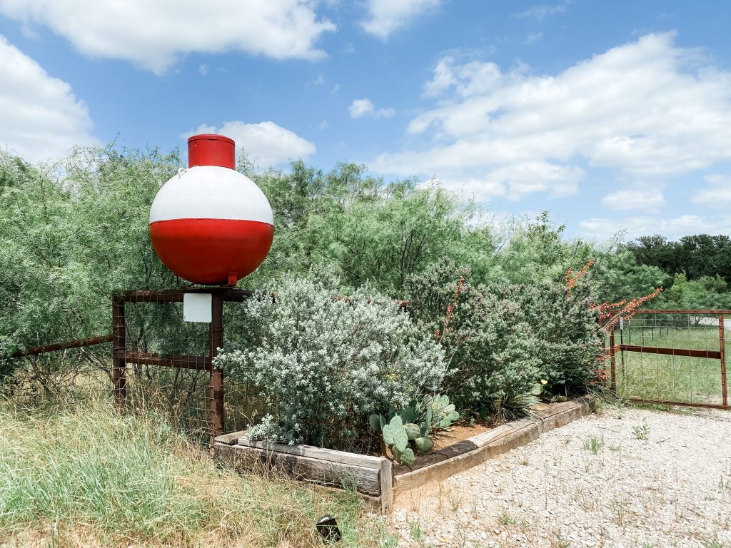
- Big Bobbers
Included in our 15 Crazy, Weird, and Unusual Things to See in Mineral Wells tour.
See the full route on this Google Map.
Cherry Pie Hill Scenic Loop
Length: 50 1/2 miles (68 minutes)
Highlights
- Mountain Scenery
- Cherry Pie Hill
1.9 mile, 5.5% grade, winding hill south of Palo Pinto popular with avid cyclists. - Palo Pinto Creek
See the full route on this Google Map.
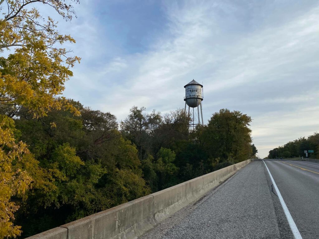
Strawn Scenic Loop
Length: 76 1/2 miles (76 minutes)
Highlights
- Mountain Scenery
- Historic Water Tower and bridge spanning Palo Pinto Creek
- Historic Bankhead Hotel and downtown Strawn
See the full route on this Google Map.
Graford-Brad Scenic Loop
Length: 63 miles (67 minutes)
Highlights
- Oliver Loving Historical Marker & Overlook
- Morris Sheppherd Dam (Possum Kingdom Lake)
- Texas Parks & Wildlife Fish Hatchery
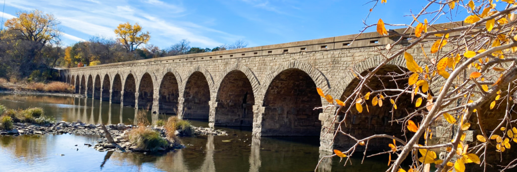
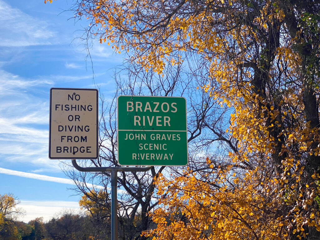
- John Graves Scenic Riverway & Stone Arch Bridge spanning Palo Pinto Creek
- Historic Bankhead Hotel and downtown Strawn
- Palo Pinto County Courthouse
See the full route on this Google Map
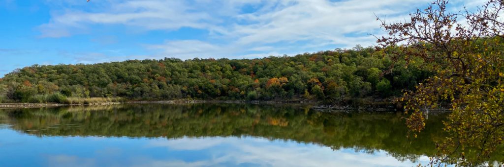
Lake Mineral Wells State Park Scenic Drive
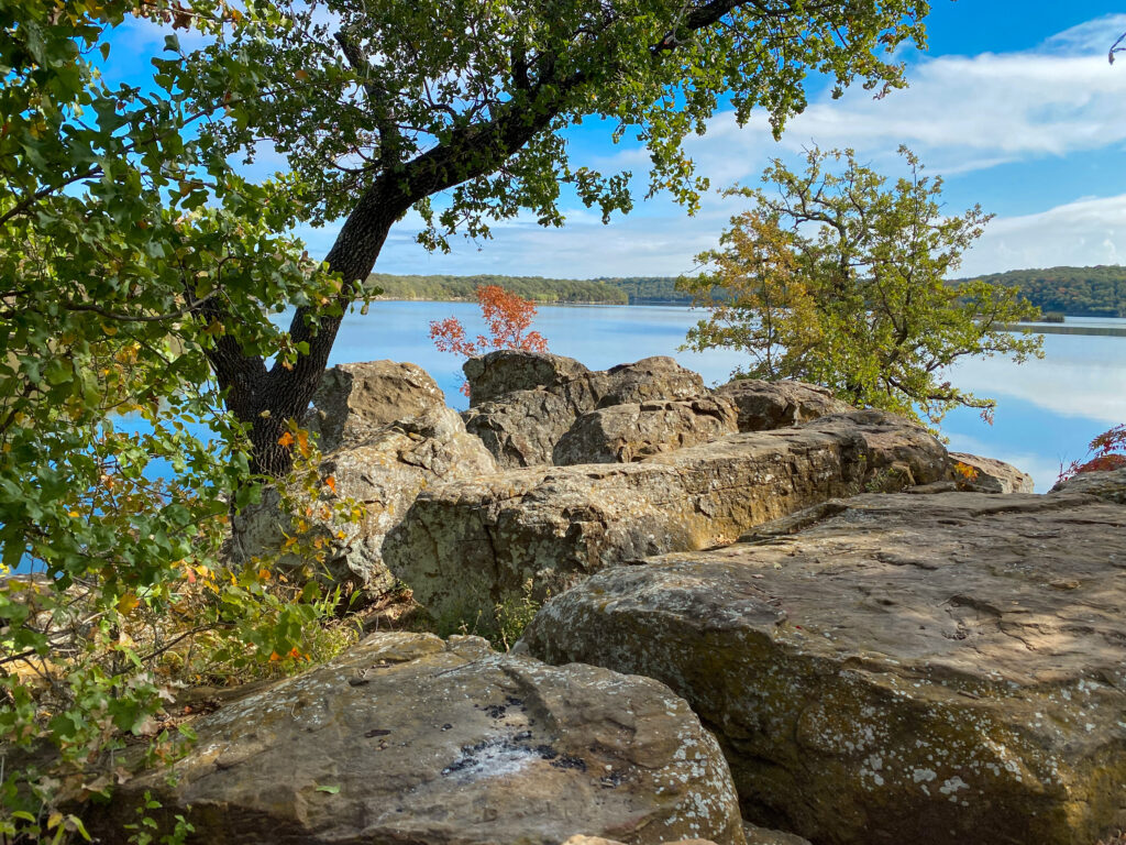
Length: 17.6 miles (46 minutes)
Highlights
- Penitentiary Hollow (accessible by foot)
- Views of Lake Mineral Wells
- Spillway
- Wildlife
See the full route on this Google Map.